August 27, 2026
There is paint on your road and nobody will tell you why. Now there is a page for that
Someone spray paints a set of red and orange squiggles across the end of your driveway. There is no letter, no sign, no crew, and nothing on the City's construction map. Three weeks later the paint is still there and still nothing has happened.
That question, asked in some form at almost every board meeting, is what the new page is for.
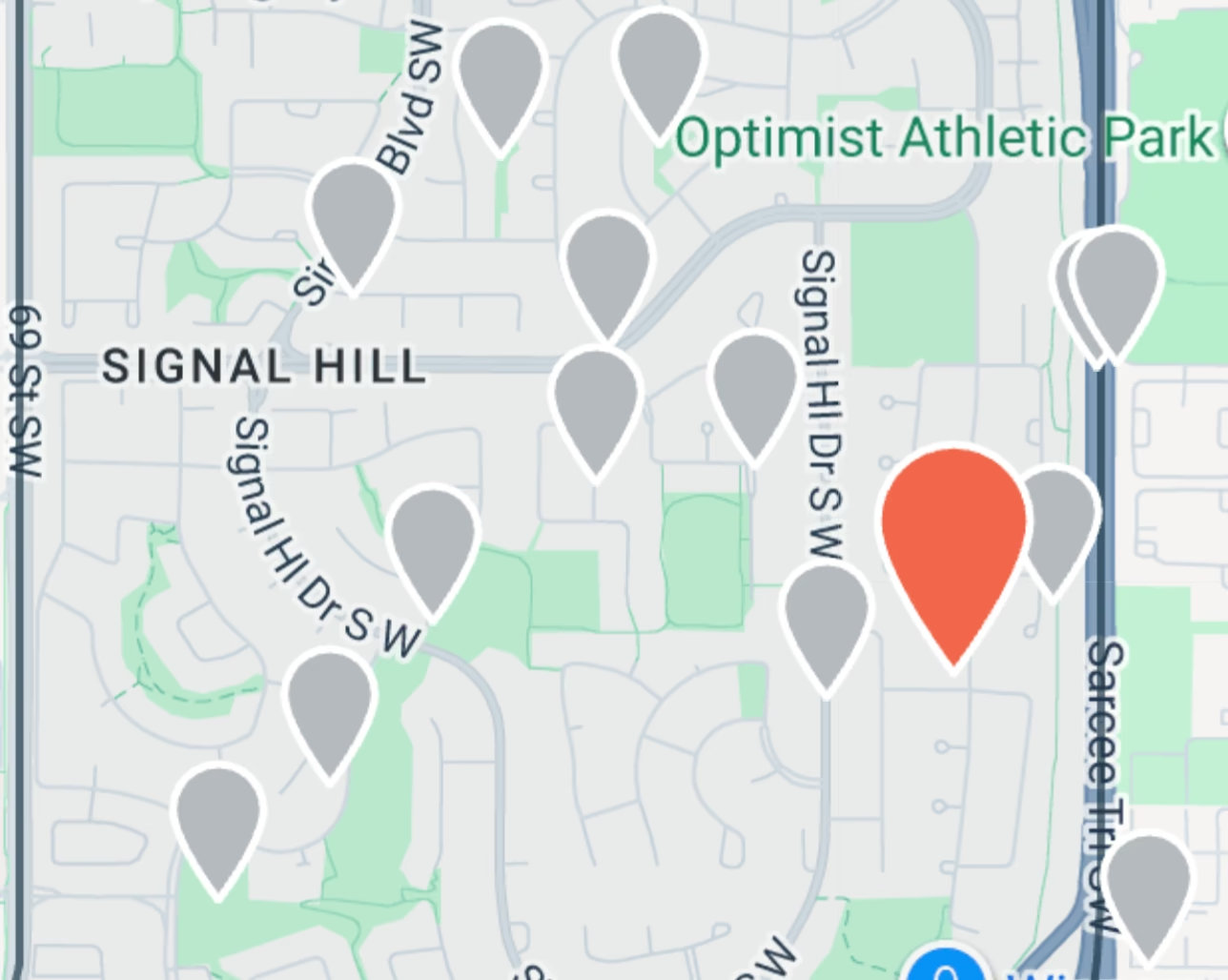
shca.ca/whats-happening carries every road closure, excavation permit, sidewalk repair, pathway closure, repaving plan, water main break and development application the City of Calgary has on public record inside Signal Hill. It updates itself. Nobody at the association types any of it in.
The paint, first
The marks are a utility locate, and the colour is the code: red power, orange communications, yellow gas, blue water, green sewer, purple reclaimed water, pink survey, white the outline of a proposed dig.
Two things about them that almost everyone gets wrong, and that no map will tell you:
Locate marks are not a schedule. They stay on the road until they weather off. Paint with no crew is the normal state of things, not a delayed project.
Locates are requested by private contractors and utility companies, not just the City. A homeowner putting in a fence has to call before they dig, same as anyone. So marks can appear on a street that has nothing at all on any City list, and that is not an error.
That section of the page is the part that answers the question when the data cannot.
Why you could not already look this up
Not for lack of open data. The City publishes it. It is just not published anywhere a resident would find it.
The public Construction Projects map carries eleven citywide megaprojects and nothing else, so for Signal Hill it is empty. 311 will answer, one phone call at a time. The layers that actually hold the answer, the excavation permits and the sidewalk repair list and the paving plan, sit behind internal-facing map viewers that nothing links to.
The page pulls from nine of those services. No API key, no account, no scraping. The one that explains locate paint is called `Work_Activity`, and it is the street use and excavation permit table.
One hole in the road is three City records
The work on Sirocco Drive is filed as a lane closure, a street use permit and a concrete repair, by three different parts of the City, within a few metres of each other.
Listed straight, the neighbourhood reads as three times as dug up as it is, and the fact that they are one job disappears. So records within 120 metres get clustered into a single entry with the work listed inside it. If a second address is involved it says so on its own line rather than becoming a second hole in the road.
Signal Hill's bounding box is not Signal Hill
Draw a rectangle around this community and you have also drawn one around Christie Park, Springbank Hill, Glenbrook, Glendale, Aspen Woods and Strathcona. An early version of this page confidently reported a dig permit on 50 Street SW and a repaving plan for Discovery Ridge Boulevard as ours.
Every record now gets tested against the actual Signal Hill boundary polygon. Inside it, it is listed. Within 250 metres of the edge, it goes in a separate group. Beyond that, it is dropped.
The edge group is deliberate. A closure on 17 Avenue, 69 Street or Sarcee Trail is not in Signal Hill and is completely in the way of leaving Signal Hill.
The second tab is the one that matters
The Proposed tab is development applications, and it is a different kind of information.
Construction is over in three weeks and there is nothing useful to say about it. A development permit has a comment window measured in days, and it is the only thing on this entire website where writing in can change an outcome. Merged into one feed with twenty sidewalk repairs, it gets buried. Hence two tabs.
This week the page was showing four open applications in Signal Hill, two still inside their comment window. One is a change of use at 2000 69 Street SW to a child care service for forty children. Whatever you think about that, the window to say it to the City is open now and will not be open long.
The page tells you where the file is on the City's map, how to comment directly to the City, which is the one that counts, and how to tell us as well so the association knows whether something is a pattern. It is also honest about what a community association can and cannot do, which is a shorter list than most people assume.
What the page will not print
These layers were never built for publication. They are the working tables of City crews, and they contain three things that must not end up on a community website.
The permit table holds the permit holder's name, mobile number and email. Only a company name is carried, and only when the field has one. The sidewalk repair table holds crew shorthand about the list itself, and the paving table holds a decade of deferral notes naming individual staff. Neither field is carried at all. Crews also paste links into location fields, so every URL is stripped before anything is published.
There is a verification script that checks the live page against the City on every run, replays the exact strings these tables really contain to prove it still catches them, and fails if any of it gets through. On its first run it caught a real one: a Google Maps pin a crew member had pasted into a sidewalk repair's location field.
Where it is
shca.ca/whats-happening. Also at `/construction` and `/development`, which both land on the right tab.
This week: 25 construction sites in and around Signal Hill, 7 of them active right now, and four open development applications. Put your address in the box at the top and the page will tell you which ones are near you.